 vesseltracker.com
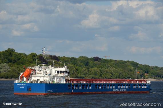
Find the position of the vessel Pola Anatolia on the map. The latter are known coordinates and path.
marine traffic ship tracker show on live map
The current position of vessel Pola Anatolia is 46.94682 lat / 38.86295 lng. Updated: 2025-11-08 02:32:04 UTCCurrently sailing under the flag of Russia
Details:
Last coordinates of the vessel:
UTC, 46.94682, 38.86295, course: 89, speed: 27.6UTC, 46.94682, 38.86295, course: 89, speed: 27.6
UTC, 46.94682, 38.86295, course: 89, speed: 27.6
2025-11-08 02:32:04 UTC, 46.94682, 38.86295, course: 89, speed: 27.6
Track of the vessel in the last 14 days
The ship also appears on the maps: